Coastal Adaptations
The Coastal Adaptation photography project focuses on Bahrain's unique relationship with the sea, encompassing its social, economic, and cultural dimensions. Over the years, significant events such as the introduction of cultured pearls, the Great Depression, the discovery of oil, and subsequent industrial advancements have shaped Bahrain's trajectory. These developments presented opportunities for modernization and bolstered the country's economic standing. However, they also led to the alteration of Bahrain's original boundaries through extensive land reclamation activities.
Between 1987 and 2013, approximately 80 sq.km of land was reclaimed, resulting in a 12.5% increase in total land area and reaching a surface area of 780 sq.km in 2018. This expansion, while providing opportunities for growth, has fragmented and transformed Bahrain's coastline.
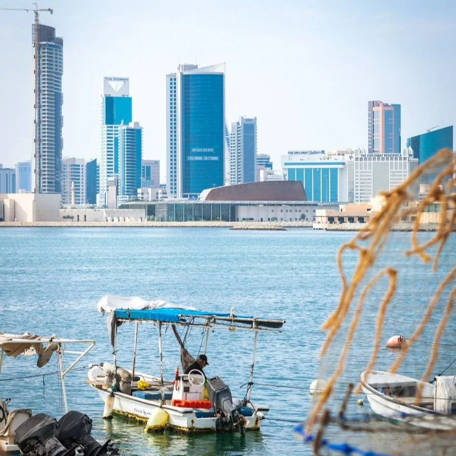
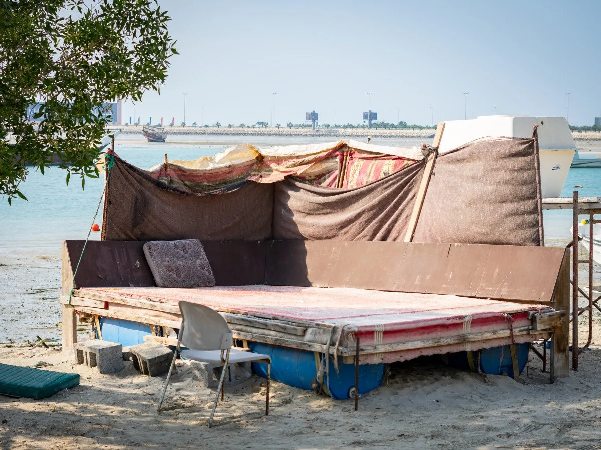
The Coastal Adaptation project specifically documents the Muharraq coast, where people and fishermen have adapted to the changing coastal landscape, seeking informal spaces to meet their needs and derive enjoyment. The project captures moments of men fishing during weekends and the informal public spaces that act as gathering spots in the evenings.
Through photography, the project focuses on the forms of spatial adaptation practices along the coast, highlighting the interplay between human activities, the changing environment, and the cultural significance of the sea in Bahrain's coastal communities.


